
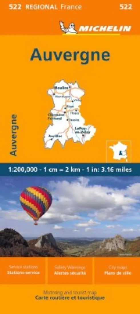
Michelin Kort – France Blad 522: Auvergne Limousin
kr.57.52
Beskrivelse
Discover the Auvergne Limousin region with the Michelin France blad 522 map, designed at a detailed 1:200,000 scale. This map covers primary, secondary, and scenic routes, helping you navigate the area with ease.
Comprehensive regional map with clear routes and essential travel info.
This Michelin Regional Map offers precise and clear cartography to guide you through the Auvergne Limousin area. It features an extensive network of primary and secondary roads, along with scenic routes to enhance your travel experience.
Beyond just roads, the map includes valuable practical details to ensure a smooth journey. You’ll find major town plans, helpful tourism information, and locations of camping sites to make the most of your trip.
Additional features include:
- Administrative boundaries for easy orientation
- Highlighted scenic routes and tourist attractions
- A place name index for quick reference
- Time and distance charts to plan your travel
- Danger alerts, service stations, and picnic areas for convenience and safety
Mediernes anmeldelser
Yderligere information
| Serie | Michelin Kort |
|---|---|
| Kategori | Bøger |
| Genre(r) | Rejsebøger Frankrig |
| Forlag | Michelin |
| Udgivelsesdato | Er udgivet |
| Sprog | Engelsk |
| ISBN-13 | 9782067258754 |
| ISBN-10 | 2067258753 |
| Indbinding | Falset |
| Genveje | Michelin Kort- Bøger |
| Tags | Michelin Kort, Bøger, Bog |
| GPSR | Produktsikkerhed |
Be the first to review “Michelin Kort – France Blad 522: Auvergne Limousin”
Related products


Arkitektur Og Design


Bøger

Bøger

Bøger




Bøger


Bøger


Billedbøger


Bøger








Bøger






Reviews
There are no reviews yet.